Nature Mapping Jackson Hole 2.4
Free Version
Publisher Description
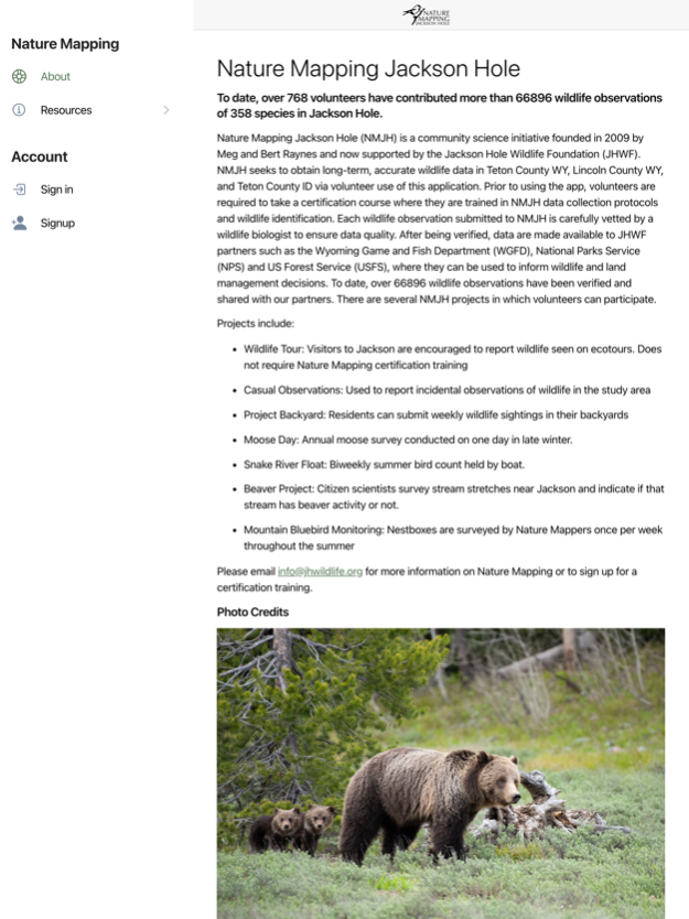
Nature Mapping Jackson Hole (NMJH) is a community science initiative founded in 2009 by Meg and Bert Raynes and now supported by the Jackson Hole Wildlife Foundation (JHWF). NMJH seeks to obtain long-term, accurate wildlife data in Teton County WY, Lincoln County WY, and Teton County ID via volunteer use of this application. Prior to using the app, volunteers are required to take a certification course where they are trained in NMJH data collection protocols and wildlife identification. Each wildlife observation submitted to NMJH is carefully vetted by a wildlife biologist to ensure data quality. After being verified, data are made available to JHWF partners such as the Wyoming Game and Fish Department (WGFD), National Parks Service (NPS) and US Forest Service (USFS), where they can be used to inform wildlife and land management decisions. To date, over 80,000 wildlife observations have been verified and shared with our partners. There are several NMJH projects in which volunteers can participate.
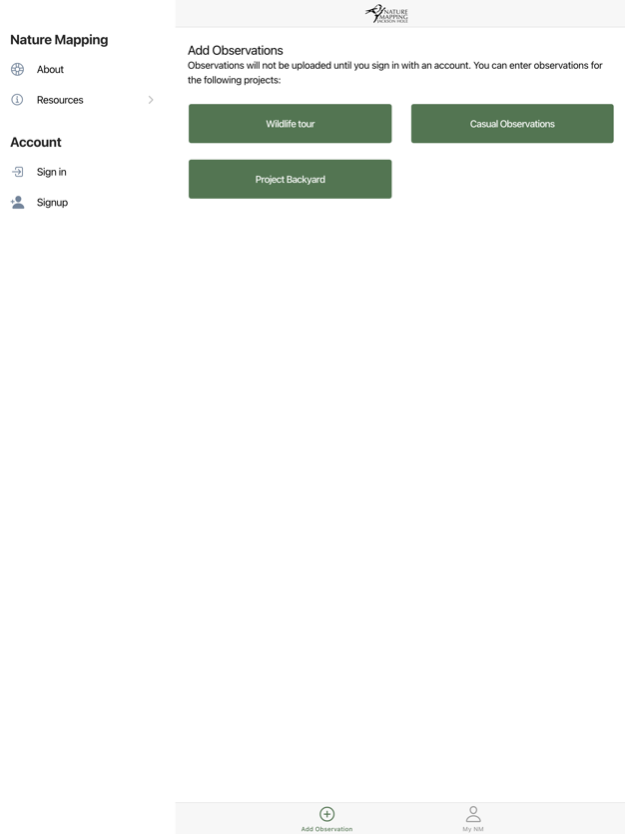
Projects include:
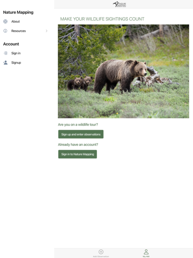
· Wildlife Tour: Visitors to Jackson are encouraged to report wildlife seen on ecotours. Does not require Nature Mapping certification training
· Casual Observations: Used to report incidental observations of wildlife in the study area
· Project Backyard: Residents can submit weekly wildlife sightings in their backyards
· Moose Day: Annual moose survey conducted on one day in late winter.
· Snake River Float: Biweekly summer bird count held by boat.
· Beaver Project: Citizen scientists survey stream stretches near Jackson and indicate if that stream has beaver activity or not.
· Mountain Bluebird Monitoring: Nestboxes are surveyed by Nature Mappers once per week throughout the summer
Please email info@jhwildlife.org for more information on Nature Mapping or to sign up for a certification training.
Jul 19, 2023
Version 2.4
Photo zoom fix
About Nature Mapping Jackson Hole
Nature Mapping Jackson Hole is a free app for iOS published in the Office Suites & Tools list of apps, part of Business.
The company that develops Nature Mapping Jackson Hole is Jackson Hole Wildlife Foundation, Inc.. The latest version released by its developer is 2.4.
To install Nature Mapping Jackson Hole on your iOS device, just click the green Continue To App button above to start the installation process. The app is listed on our website since 2023-07-19 and was downloaded 1 times. We have already checked if the download link is safe, however for your own protection we recommend that you scan the downloaded app with your antivirus. Your antivirus may detect the Nature Mapping Jackson Hole as malware if the download link is broken.
How to install Nature Mapping Jackson Hole on your iOS device:
- Click on the Continue To App button on our website. This will redirect you to the App Store.
- Once the Nature Mapping Jackson Hole is shown in the iTunes listing of your iOS device, you can start its download and installation. Tap on the GET button to the right of the app to start downloading it.
- If you are not logged-in the iOS appstore app, you'll be prompted for your your Apple ID and/or password.
- After Nature Mapping Jackson Hole is downloaded, you'll see an INSTALL button to the right. Tap on it to start the actual installation of the iOS app.
- Once installation is finished you can tap on the OPEN button to start it. Its icon will also be added to your device home screen.
